


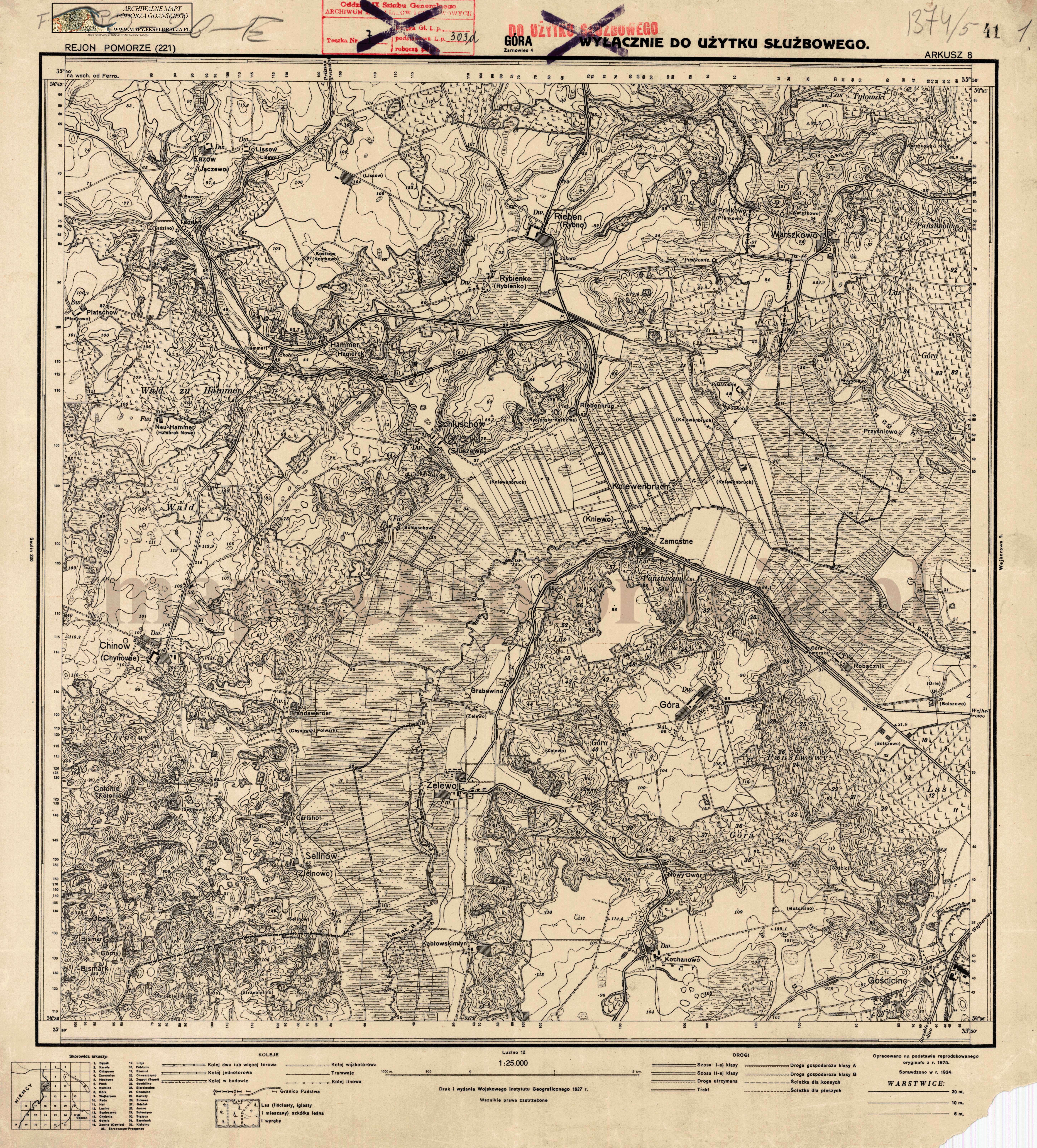
| map file | 1374_Gohra_1927_300dpi_AMPG.jpg |
|---|---|
| file size | 7303245 (7.0 MB) |
| sheet number | 1374 (221) |
| sheet title | Gohra |
| modern name | Góra |
| publication year | 1927 |
| publisher | Reichsamt für Landesaufnahme |
| map type | Meßtischblatt 1877 A |
| description | Type of 1877. Without any grid, zero meridian Ferro. Sheet numbering system of the old type. A one-colour map. |
| field survey year | 1875 |
| last update year | 1924 |
| it was used the cartographic material | Unchanged reprint of a map published in the year 1875; published by Königlich-Preussische Landesaufnahme; |
| keywords | for office use |
| map/scan condition | good |
| scan resolution | 300 dpi |
| scan colors | rgb |
| entry edited | 2012-07-20 08:28:32 |
| from the collection of | Archiwum Map Pomorza Gdańskiego |
