


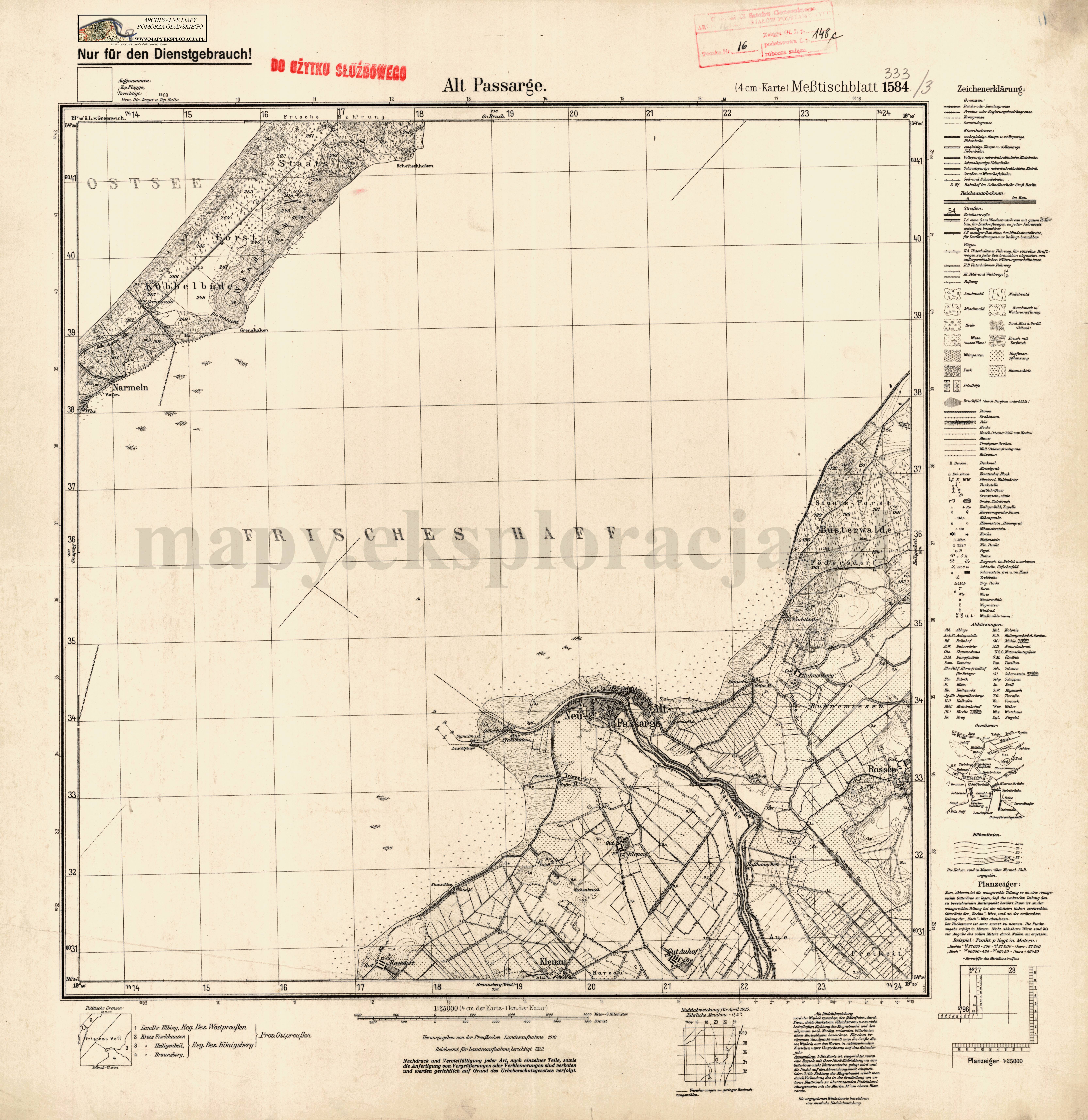
| map file | 1584_Alt_Pasalge_ca1940_300dpi_AMPG.jpg |
|---|---|
| file size | 4748061 (4.5 MB) |
| sheet number | 1584 (333) |
| sheet title | Alt Passarge |
| modern name | Stara Pasłęka |
| publication year | ±1940 |
| publisher | Reichsamt für Landesaufnahme |
| map type | (4 cm-Karte) Meßtischblatt 1927 A |
| description | A type of 1927. With the kilometre-nominated GK grid, zero meridian Greenwich. Sheet numbering system of the old type. A one-colour map. |
| field survey year | 1910 |
| last update year | 1922 |
| it was used the cartographic material | Unchanged reprint of a map published in the year 1931; published by Reichsamt für Landesaufnahme; |
| keywords | overprint of a new sheet number |
| map/scan condition | good |
| scan resolution | 300 dpi |
| scan colors | rgb |
| entry edited | 2012-07-20 08:28:30 |
| from the collection of | Archiwum Map Pomorza Gdańskiego |
