


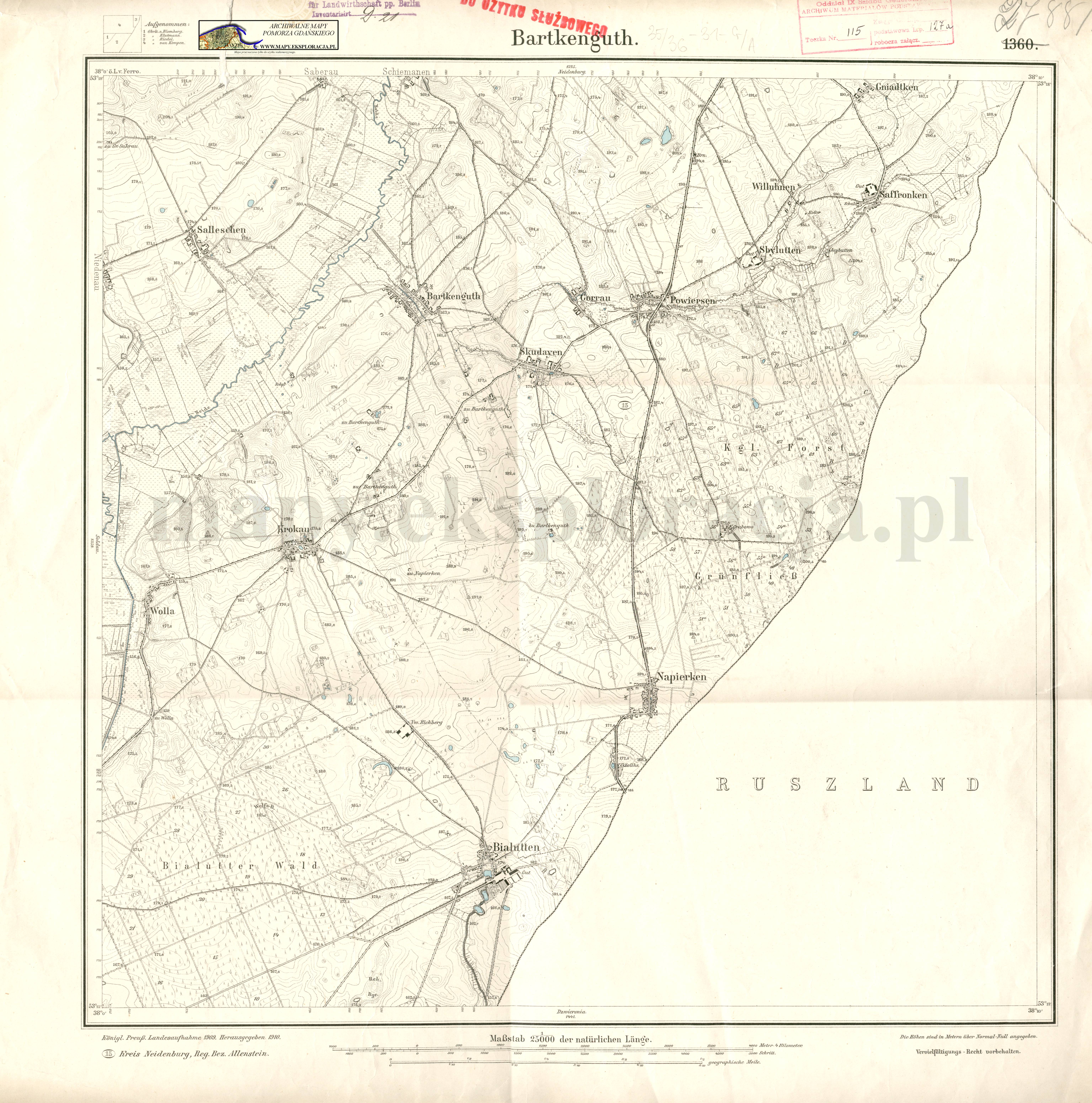
| map file | 2788_Barkenguth_1910_300dpi_AMPG.jpg |
|---|---|
| file size | 3911603 (3.7 MB) |
| sheet number | 2788 (1360) |
| sheet title | Barkenguth |
| modern name | Bartki |
| publication year | 1910 |
| publisher | Königlich-Preussische Landesaufnahme |
| scan resolution | 400 dpi |
| entry edited | 2012-07-20 08:28:00 |
| from the collection of | Archiwum Map Pomorza Gdańskiego |
