


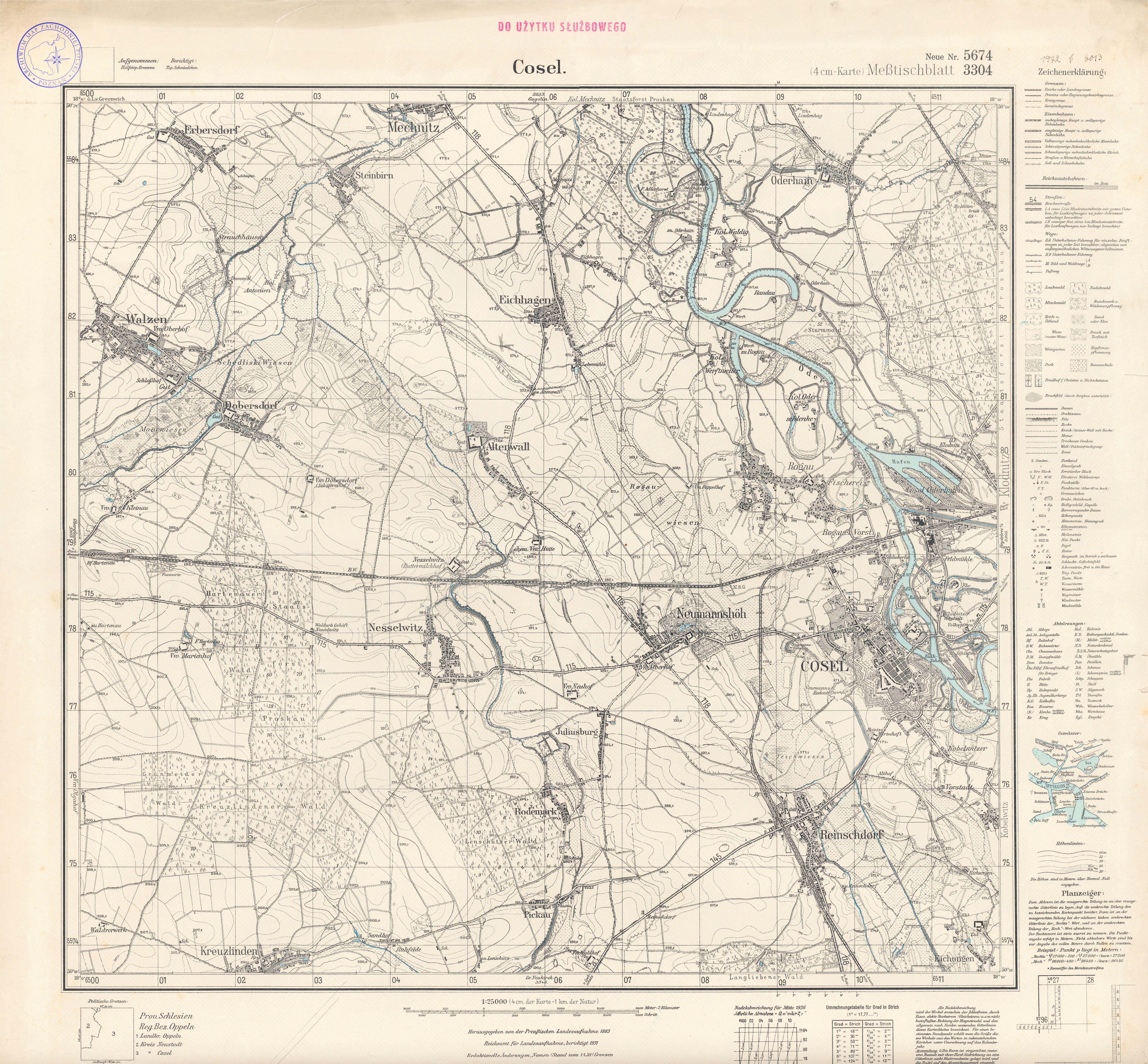
| map file | 5674_Cosel_1938.jpg |
|---|---|
| file size | 9222720 (8.8 MB) |
| sheet number | 5674 (3304) |
| sheet title | Cosel |
| modern name | Koźle |
| publication year | 1938 |
| scan resolution | 300 dpi |
| entry edited | 2012-07-23 11:10:11 |
| from the collection of | Archiwum Map Zachodniej Polski |