


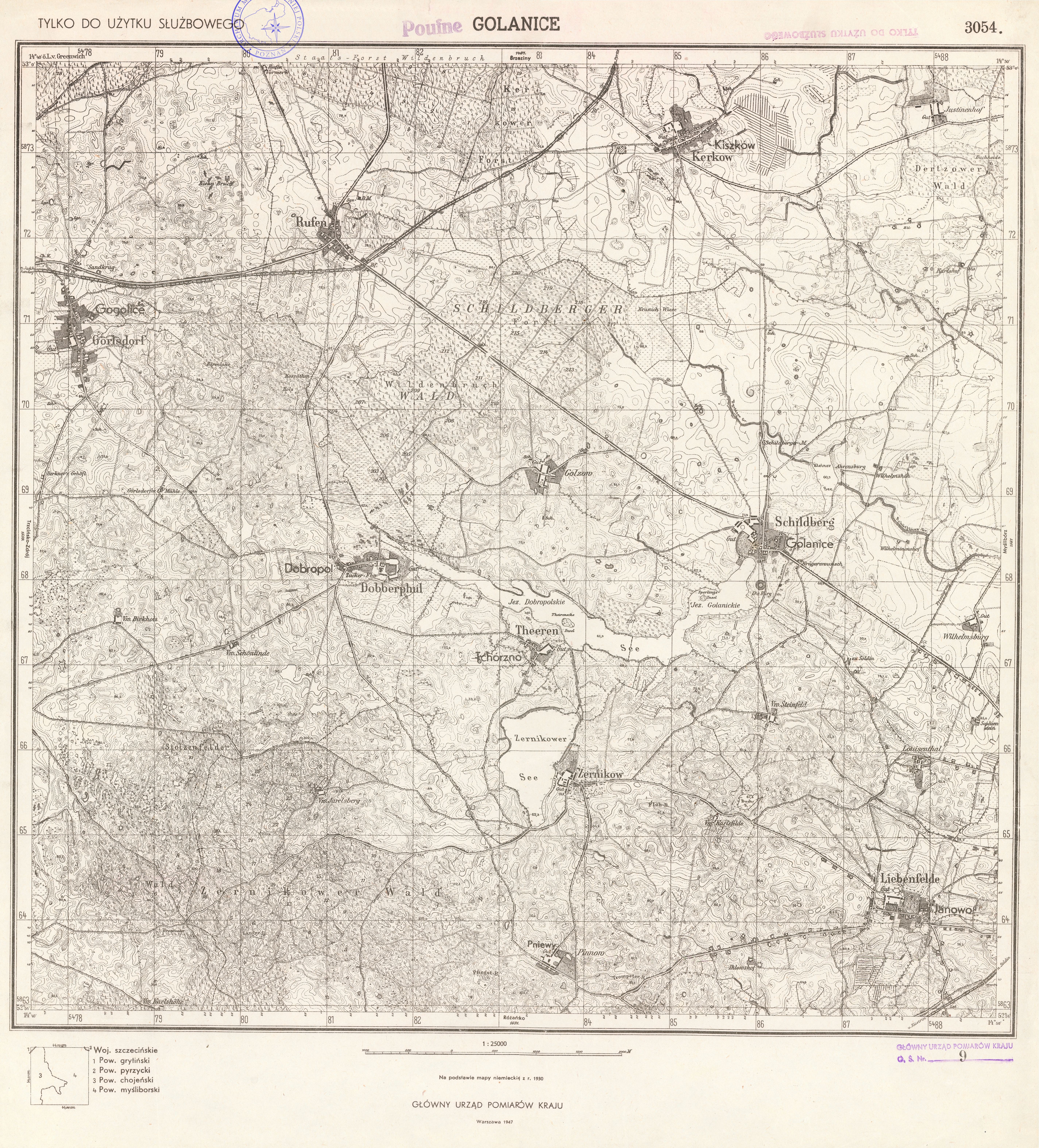
| map file | 3054_Golanice_1947.jpg |
|---|---|
| file size | 9728507 (9.3 MB) |
| sheet number | 3054 (1560) |
| sheet title | Golanice |
| modern name | Golenice |
| publication year | 1947 |
| scan resolution | 300 dpi |
| remarks | polska kopia Głównego Urzędu Pomiaru Kraju |
| entry edited | 2012-07-20 08:27:35 |
| from the collection of | Archiwum Map Zachodniej Polski |
