


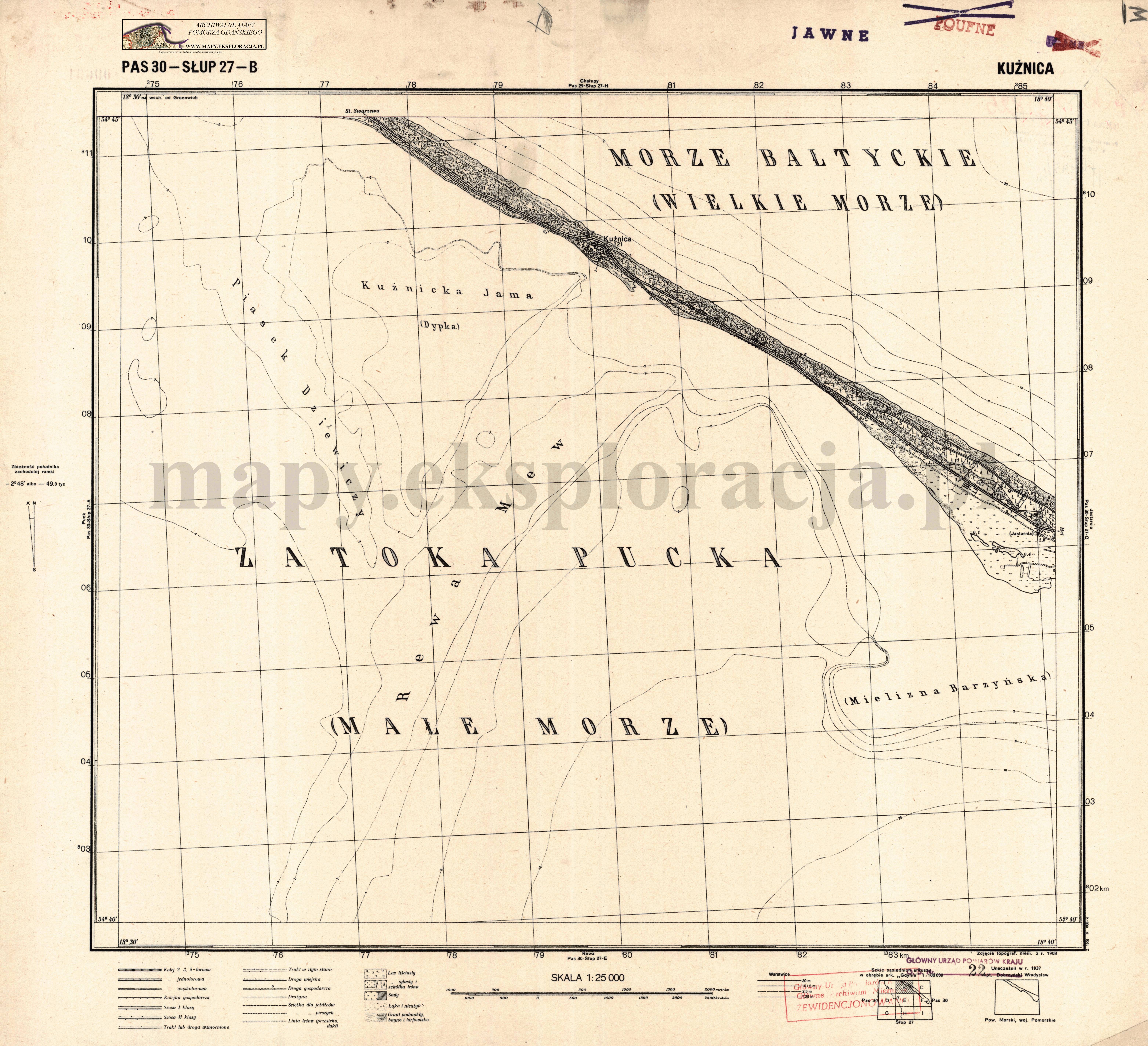
| map file | P30-S27-B_KUZNICA_2.jpg |
|---|---|
| file size | 3691163 (3.5 MB) |
| sheet number | P30 S27 B (3027 B) |
| sheet title | KUŹNICA |
| publication year | ±1950 |
| publisher | Wojskowy Instytut Geograficzny |
| map type | WIG 1:25tys normalny-cz/b |
| description | The WIG map 1:25,000. Normal edition, black/white. |
| scan resolution | 300 dpi |
| file added | 2011-09-09 |
| entry edited | 2012-06-15 18:04:05 |
| from the collection of | Archiwum Map Pomorza Gdańskiego |
