


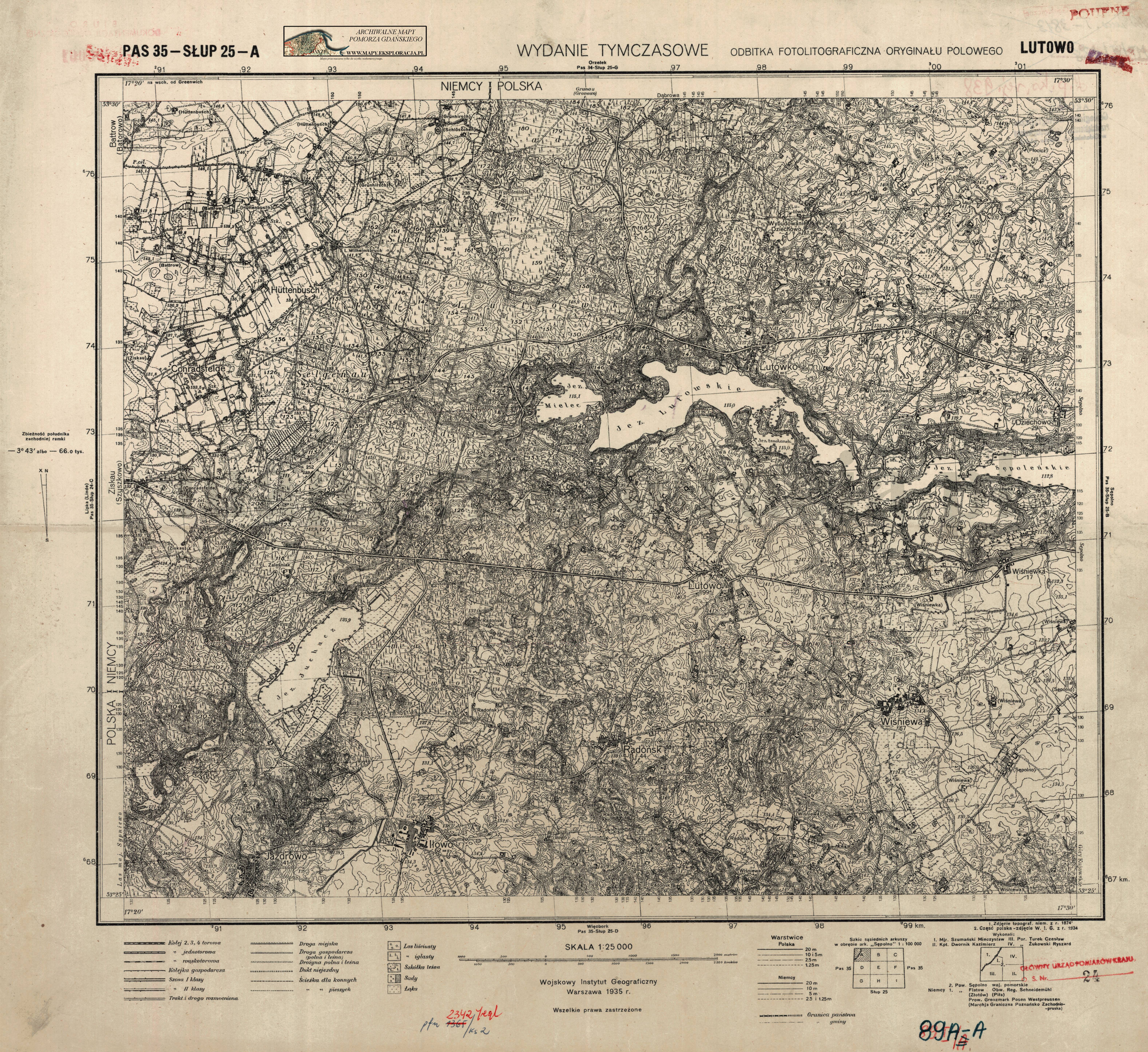
| map file | P35-S25-A_LUTOWO_WT_1935_2.jpg |
|---|---|
| file size | 7207009 (6.9 MB) |
| sheet number | P35 S25 A (3525 A) |
| sheet title | LUTOWO |
| publication year | 1935 |
| publisher | Wojskowy Instytut Geograficzny |
| map type | WIG 1:25tys tymczasowy |
| description | The WIG map 1:25,000. Temporary edition. |
| map/scan condition | good |
| scan resolution | 300 dpi |
| scan colors | rgb |
| file added | 2011-09-09 |
| entry edited | 2012-06-15 18:04:39 |
| from the collection of | Archiwum Map Pomorza Gdańskiego |
