


| map file | P47-S28-A_TARNOWSKIE_GORY_1933_copy.jpg |
|---|---|
| file size | 8177861 (7.8 MB) |
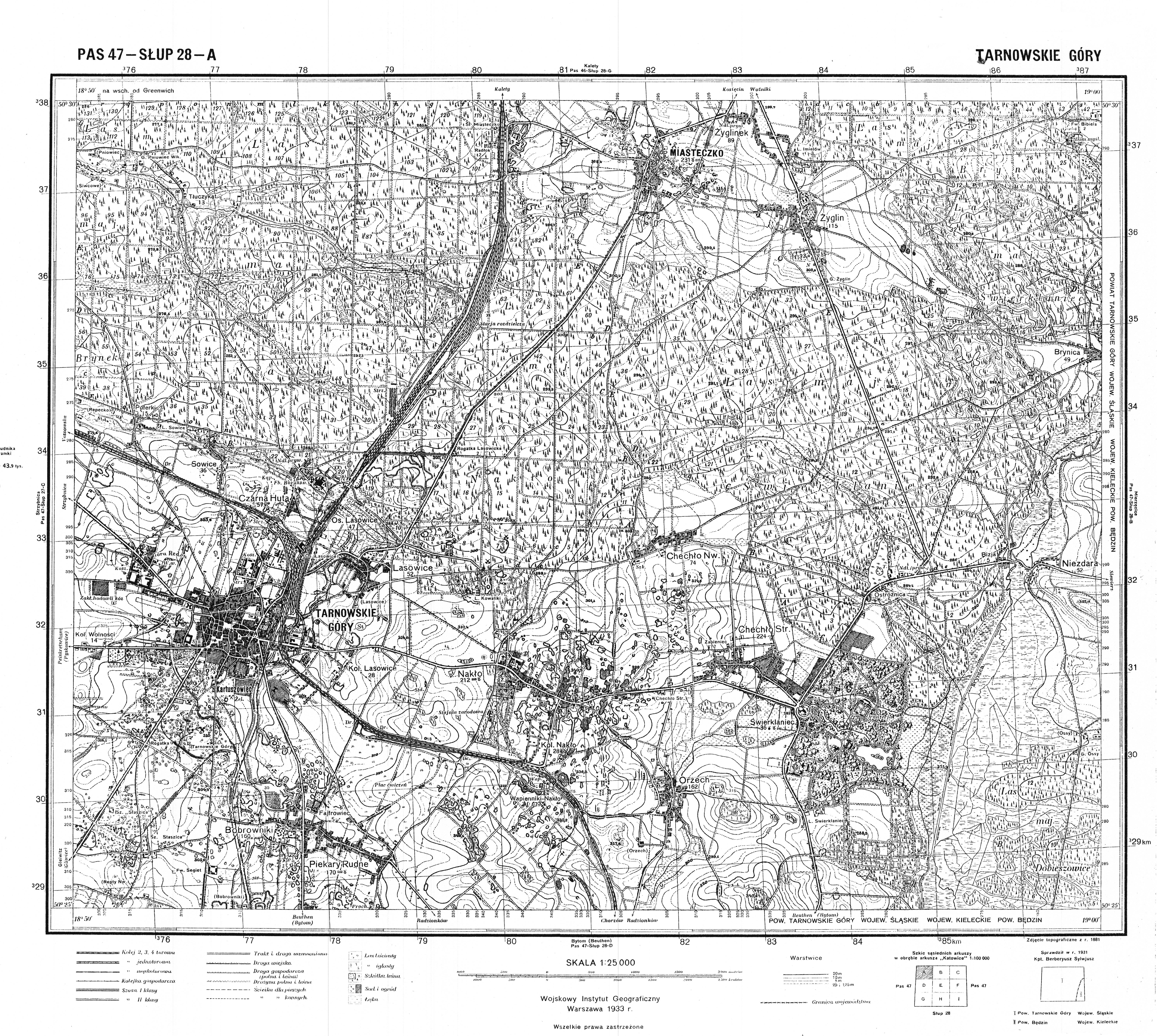
| sheet number | P47 S28 A (4728 A) |
| sheet title | TARNOWSKIE GÓRY |
| publication year | 1933 |
| publisher | Wojskowy Instytut Geograficzny |
| map type | WIG 1:25tys normalny-cz/b |
| description | The WIG map 1:25,000. Normal edition, black/white. |
| map/scan condition | good |
| scan resolution | 300 dpi |
| scan colors | 1bit |
| file added | 2011-09-14 |
| entry edited | 2012-04-03 14:39:23 |
| from the collection of | Archiwum Map WIG |
