


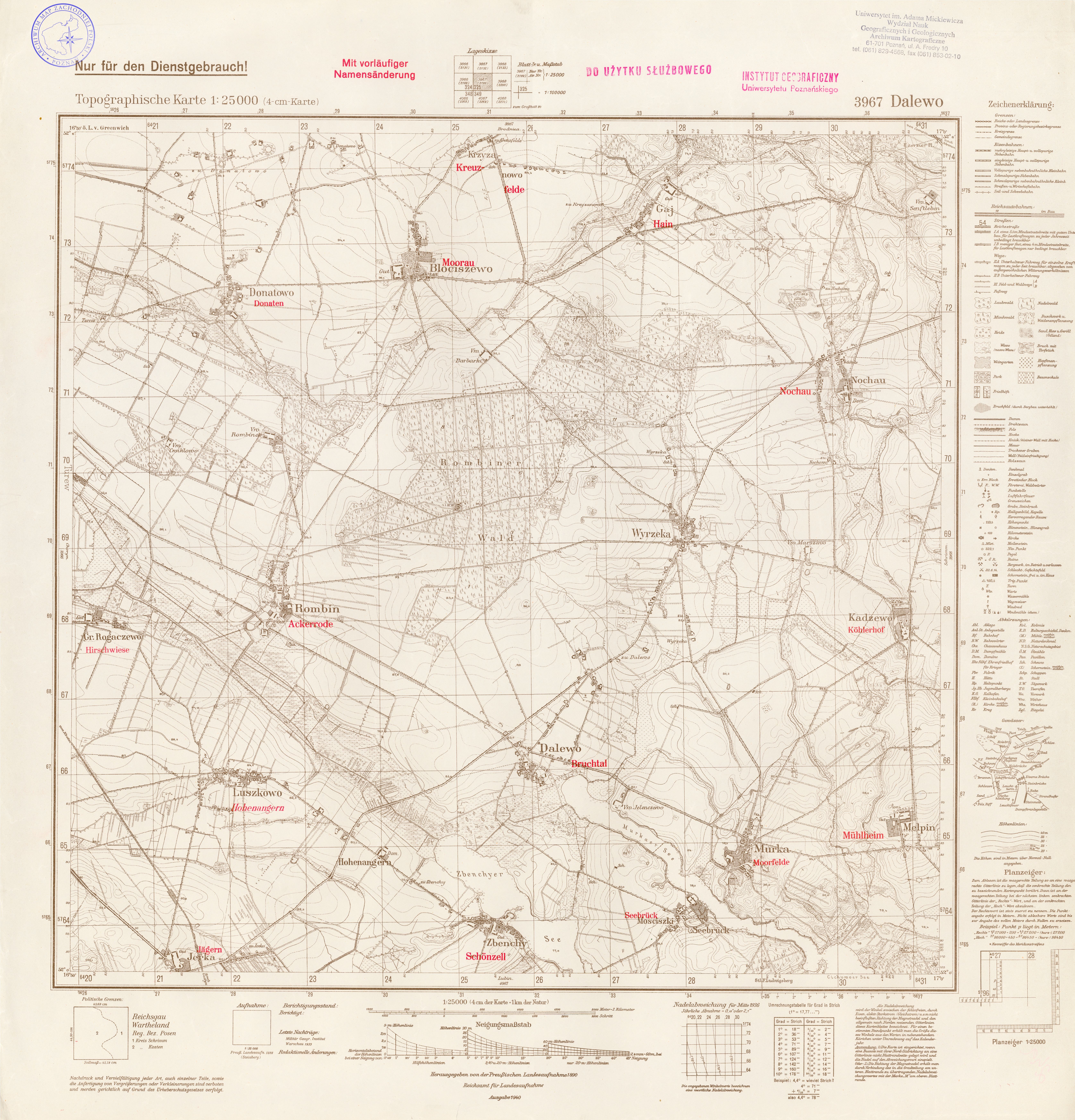
| map file | 3967_Dalewo_1940.jpg |
|---|---|
| file size | 7680537 (7.3 MB) |
| sheet number | 3967 (2199) |
| sheet title | Dalewo |
| modern name | Dolewo |
| publication year | 1940 |
| scan resolution | 300 dpi |
| entry edited | 2012-07-20 08:30:11 |
| from the collection of | Archiwum Map Zachodniej Polski |
