


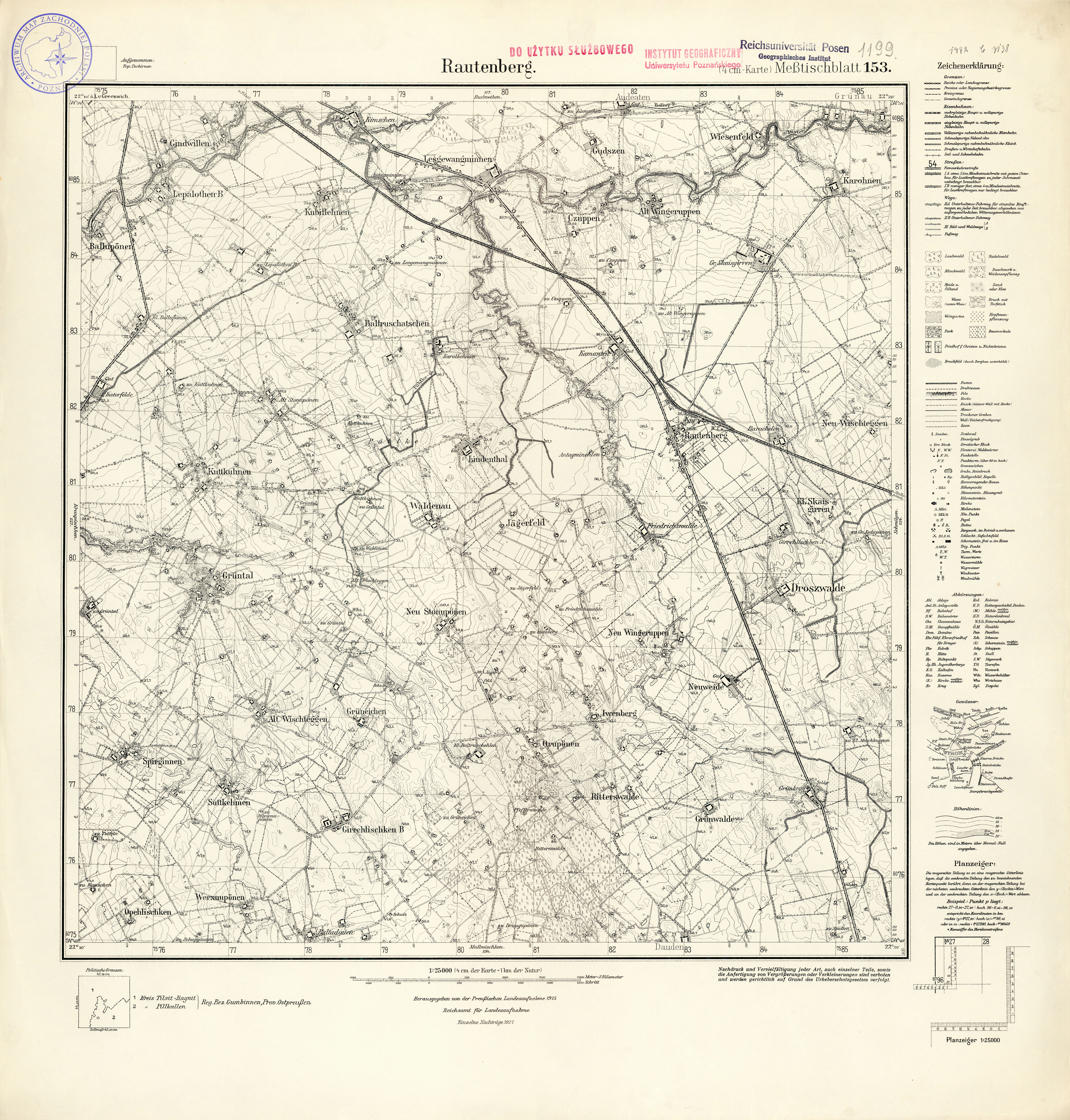
| map file | 1199_Rautenberg_1935.jpg |
|---|---|
| file size | 11237863 (10.7 MB) |
| sheet number | 1199 (153) |
| sheet title | Rautenberg |
| modern name | Узловое |
| alternative name | Rautenberkis; Раутенберг (1945); Uzlovoe |
| publication year | 1935 |
| map/scan condition | good |
| scan resolution | 300 dpi |
| scan colors | rgb |
| entry edited | 2012-07-20 08:34:15 |
| from the collection of | Archiwum Map Zachodniej Polski |
